Montella
The municipality of Montella (Avellino) lies at the source of the River Calore, within the Monti Picentini Park, at an altitude of 634 metres, and has around 7,600 inhabitants.
The name comes from Monticulus or Montillus, which became Montilla, Motilla and finally Montella: it clearly derives from 'monte' (mountain), in the sense of 'fortified hill'.
Surrounded by chestnut groves, walnut plantations and orchards, the town was originally Samnite-Hirpinian, then Roman and Lombard. It is known for its chestnuts and is a base for walks along the River Calore and in the surrounding mountains, particularly Monte Accelica, with its distinctive twin-humped profile and central pinnacle, an ancient landmark for finding one's way across the territory.
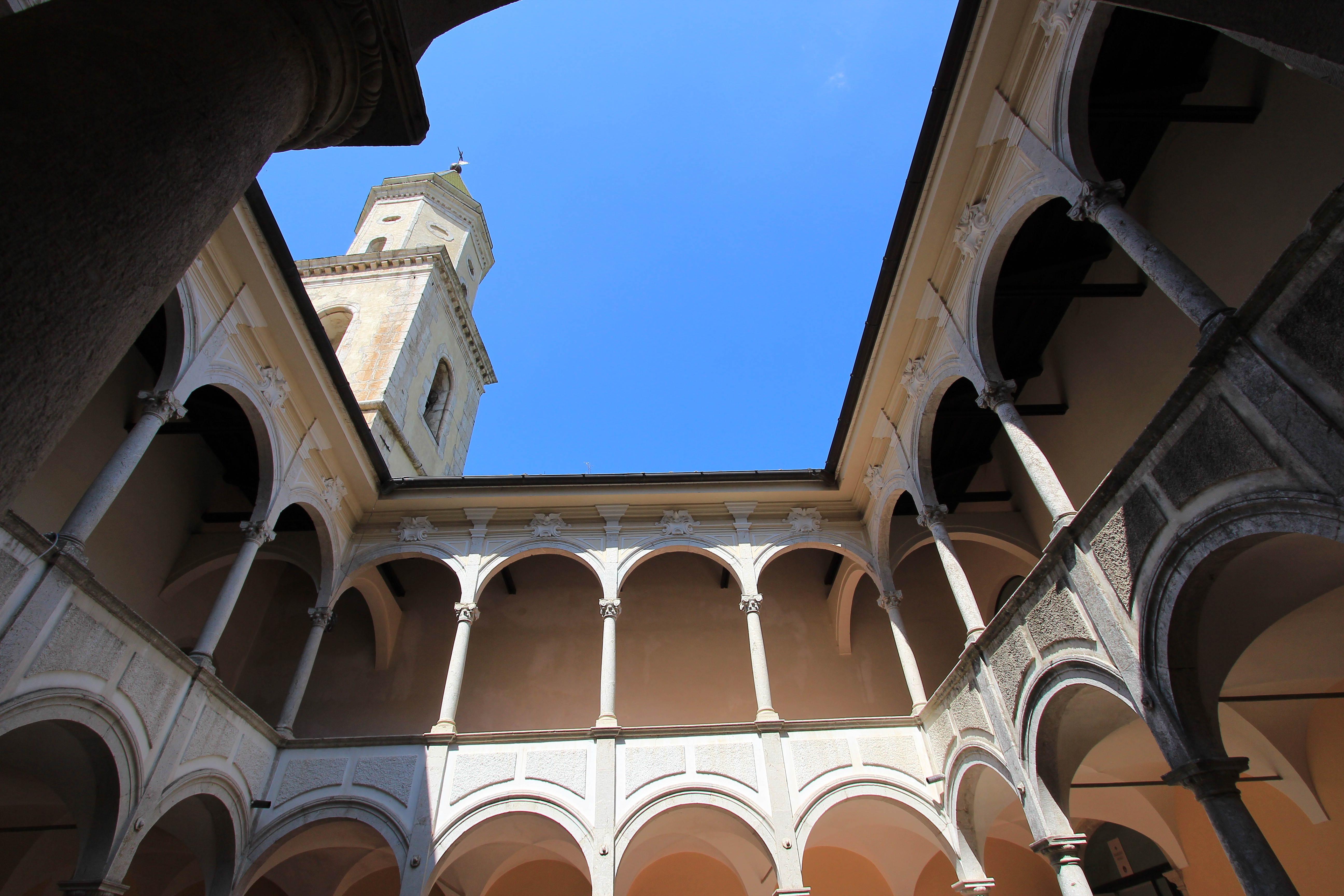
The main sight is the Convent of San Francesco a Folloni (the end point of Stage 3 of the Cammino), with its cloister and museum, still home to a community of Franciscan friars. Other important places of interest are the Castello del Monte, with the nearby monastic complex of Santa Maria della Neve, and the Sanctuary of the Santissimo Salvatore, as well as the extensive historic centre.
On the plain a short distance from Montella, the Convent of San Francesco a Folloni can be spotted from afar by its bell tower. Founded, according to tradition, by Francis of Assisi in 1222, it was remodelled in the Baroque style in the mid-18th century. The church, built in 1743, has a fine nave adorned with stucco work, a majolica floor, and Baroque altars and paintings. In the sacristy, the highlight is the Renaissance tomb of Diego I Cavaniglia (d. 1481) by Jacopo della Pila, supported by statues of Prudence, Fortitude and Justice and decorated with a relief of the Madonna and Child. A 16th-century portico on the left side leads into the first cloister and the Museum of San Francesco a Folloni, which houses, among other things, paintings and frescoes from churches destroyed in the 1980 earthquake.